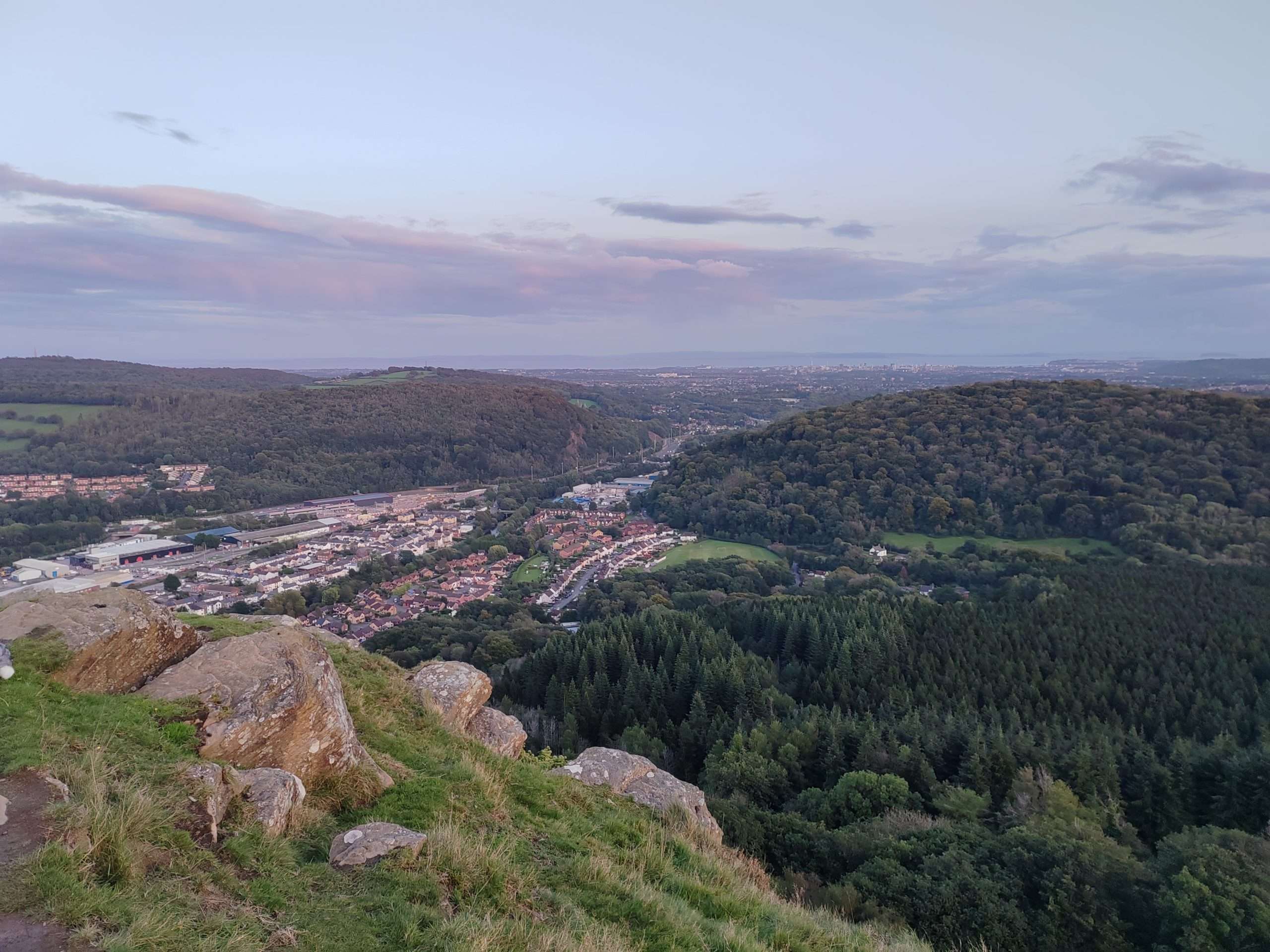
Night walk: Blorenge
Keeper's Pond Car Park, Blorenge, SO254107Join us for a 4 mile night time walk around the top of the Blorenge. We will meet at the Keepers Pond Car Park for 7pm. OS Explorer Map OLContinue reading "Night walk: Blorenge"
Walk, scramble and climb with us
Our programme of mountain hiking, climbing and other events
Find your adventure with us – try for free for two or three events without commitment to joining. Please register and our membership secretary will contact you.
Tap or click on an event title to obtain full details of the event.
You can filter upcoming events by category, tags or day of the week. How you see the filters depends on your device and its screensize. Some users will see the filter controls appearing on the left side of their screen. For other users, the filter controls can be revealed by tapping on the filter icon ![]() .
.
Read about how we grade our hill and mountain walks and how we categorise our climbing activities.

Join us for a 4 mile night time walk around the top of the Blorenge. We will meet at the Keepers Pond Car Park for 7pm. OS Explorer Map OLContinue reading "Night walk: Blorenge"

Our walk, which begins from the High School / Leisure Centre car park in Crickhowell (9:30am. OS Explorer map OL13, grid reference SO 216185) is essentially a high-level walk risingContinue reading "Walk: Great Cwm Horseshoe. 18km/11.2miles, 840m/2755ft ascent (Moderate)"

Join Mark for this moderate to hard walk through Fforest Fawr to Castell Coch, on to Garth Woods and Garth Hill and back across the valley where we'll take inContinue reading "Walk: Fforest Fawr circular. 21km/13miles, 1000m/3000ft ascent (Moderate/Hard)"

Join Ralph for a walk around the upper Afon Honddu. We'll start from Pen yr Heol under the northern escarpment of the Blacks. The route circles the upper Honddu ValleyContinue reading "Walk: Around the upper Afon Honddu. 26km/16miles, 1195m/3625ft ascent (Hard)"

Join Gareth on this walk where we'll take in Llanfoist, The Blorenge via the tramways, Keepers Pond and the escarpment overlooking Cwm Craf and Abergavenny before descending to the Punchbowl.Continue reading "Walk: Around Abergavenny. 17km/10 miles, 600m/1968ft ascent (Easy)"

Join Jen on this 10 mile undulating walk from St Briavels following Forest of Dean and Offa's Dyke footpaths. We'll start at 10am behind the Youth Hostel. OS Explorer MapsContinue reading "Walk: St Briavels. 16km/10 miles (Short/easy)"
Details to be announced.

Mark will lead us on this hard walk of 22km/13.5miles and 800m/2600ft ascent starting with the spectacular Henrhyd Falls before making our way westwards to ascend Cribarth. We'll make ourContinue reading "Walk: Henrhyd Falls to Sinc Giedd. 22km/13.5miles, 800m/2600ft ascent (Hard)"

Ralph will lead us on this linear walk of 25km/15.5miles over Pumlumon and Nant Y Moch Skyline to the west shore of Nant Y Moch reservoir. Total ascent 1094m/3590ft. CarContinue reading "Walk: Pumlumon. 25km/15.5miles, 1094m/3590ft ascent (Hard)"

Join Dave on this clockwise circuit of Dyffryn Crawnon starting at Llangynidr car park taking in the Chartist Cave and Tor Y Foel. The route is likely to be veryContinue reading "Walk: Dyffryn Crawnon circuit. 22.5km/14miles, 825m/2700ft ascent (Moderate-Hard)"

Mark will be leading a hard walk of approximately 25km/15miles, 600m/2000ft ascent in the Fforest Fawr area. The walk is a mixture of paths/tracks and some steep rough grassland. SuitableContinue reading "Walk: Fforest Fawr area. 25km/15miles, 600m/2000ft ascent (Hard)"

Join Roger on an evening walk up Ysgyryd Fawr/The Skirrid. Drinks will be at The Kings Arms, Abergavenny, NP7 5AA. The walk will start at 7pm from The National TrustContinue reading "Evening Walk: Ysgyryd Fawr/The Skirrid, 5.6km/3.5miles"