Our programme of mountain hiking, climbing and other events

Find your adventure with us – try for free for two or three events without commitment to joining. Please register and our membership secretary will contact you.

Tap or click on an event title to obtain full details of the event.

You can filter upcoming events by category, tags or day of the week. How you see the filters depends on your device and its screensize. Some users will see the filter controls appearing on the left side of their screen. For other users, the filter controls can be revealed by tapping on the filter icon .

Read about how we grade our hill and mountain walks and how we categorise our climbing activities.

Walk: The Carneddau Hills. 25km/15.5miles, 1070m/3510ft ascent (Hard)

The Carneddau Hills are a group of hills lying 2 miles NE of Builth Wells. The route explores the Carneddau and continues over the interesting little ridge of Castle Bank before descending to Hundred House. A couple of miles of unavoidable lane walking here.  After crossing the A481, the route continues with an ascent ofContinue reading "Walk: The Carneddau Hills. 25km/15.5miles, 1070m/3510ft ascent (Hard)"

Walk: Mynydd Du/Black Mountain. 22km/14m. 1015m/3330ft ascent (Hard)

Join Ralph on a stunning walk in the county of Sir Gaerfyrddin (Carmarthenshire) taking in the Mynydd Du (Black Mountain) area. The route takes in the summits of Waun Lefrith, Carreg yr Ogof, Garreg Las, Foel Fraith and Moel Gornach.   Please let Ralph know by email/Whatsapp/text if you intend to come along.   WeContinue reading "Walk: Mynydd Du/Black Mountain. 22km/14m. 1015m/3330ft ascent (Hard)"

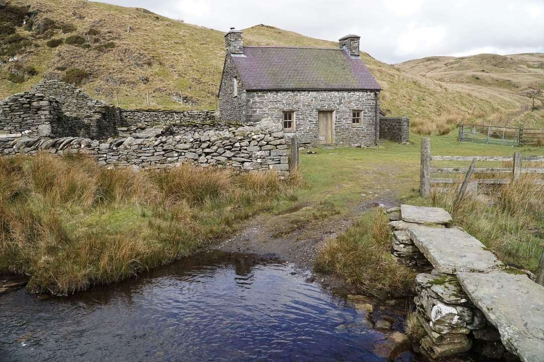
Walk: A different approach to Moel Prysgau remote bothy. 22km/14miles, 798m/2490ft ascent (Moderate/hard)

Claerwen Dam, SN870633

Join Ralph on a moderate to hard walk of 22km/14miles with 798m/2490ft ascent in the remote wilderness of the Elenydd Hills. The route will take you alongside the course of the Afon Arban, reaching boggy peat hags and tussocks higher up the valley before touching the edge of the forest near Bwlch Owen. The forestContinue reading "Walk: A different approach to Moel Prysgau remote bothy. 22km/14miles, 798m/2490ft ascent (Moderate/hard)"

Walk: Northern Blacks. 24km/15miles, 888m/2915feet ascent (moderate side of hard)

Hay Common (Hay Bluff), SO239373

A wandering route on the moderate side of hard (24km/15miles, 888m/2915feet ascent) around the northern end of the Black Mountains with Ralph Goddard, which includes the beautiful Olchon valley, Black Hill and and the outlier, Cefn Hill. This is a different route to a previous one Ralph led in  the same area a while ago.Continue reading "Walk: Northern Blacks. 24km/15miles, 888m/2915feet ascent (moderate side of hard)"

Walk: Mynydd Fforest and surrounding hills. 26km/16.5miles, 700m/2300ft ascent (Hard)

Join Ralph on this 26km/16.5miles hard walk taking in the hills of Mynydd Fforest, Cefn Llwydiart, Cefn Clawdd, Twyn Y Post, Fforest Brycheiniog and Llandyfalle Hill. Total ascent 700m/2300ft following mainly good paths. Please bring a headtorch. We will start at 9.30am OS Explorer Map 188, grid reference SO117377 at Brechfa Pool.

Walk: Around the upper Afon Honddu. 26km/16miles, 1195m/3625ft ascent (Hard)

Join Ralph for a walk around the upper Afon Honddu. We'll start from Pen yr Heol under the northern escarpment of the Blacks. The route circles the upper Honddu Valley via Bird House, Twyn Talycefn, Blacksmith's Anvil, Capel Y Ffin, The Vision, Hay Bluff and Twmpa. The walk will cover 26km/16 miles with a totalContinue reading "Walk: Around the upper Afon Honddu. 26km/16miles, 1195m/3625ft ascent (Hard)"

Walk: Grwyne Fawr circuit. 24km/15miles, 824m/2730ft ascent (Hard)

Pont Cadwgan Car Park

Join Ralph for a circuit of the Grwyne Fawr. From Pont Cadwgan the route ascends the Pen Twyn Mawr- Pen y Gadair Fawr ridge via Ffordd Las Fawr. Continues to Waun Fach, descends to the Grwyne bothy and dam. Climbs to Chwarel y Fan and onwards to Bal Mawr before descending through the forest toContinue reading "Walk: Grwyne Fawr circuit. 24km/15miles, 824m/2730ft ascent (Hard)"

Walk: Circuit of Talybont Reservoir. 24km/14miles, 916m/3006ft ascent (Moderate)

Talybont Reservoir (Nant Tarthwynni) SO099197

Join Ralph for this moderately graded circuit of Talybont Reservoir covering 24km/14miles, 916m/3006ft of ascent. Starting at 9.30am we'll meet at the carpark at grid reference SO 099196. Please let Ralph know by text or email if you intend to join him on the walk. For your safety and the safety of other members, weContinue reading "Walk: Circuit of Talybont Reservoir. 24km/14miles, 916m/3006ft ascent (Moderate)"

Walk: Domen Milwyn, Claerddu Bothy & Teifi Pools circuit. 27km/16 miles, 973m/3192ft ascent (Hard)

Ralph will lead us on a circuit from Cwmystwyth taking in Domen Milwyn, Claerddu Bothy and Teifi Pools on this hard walk of 27km/16 miles and 973m/3192ft ascent.  We'll start at10:00am from the Hafod Estate forest car park (free) roughly 2.5km west of Cwmystwyth. OS Explorer Map 199, grid reference SN 768736. For your safetyContinue reading "Walk: Domen Milwyn, Claerddu Bothy & Teifi Pools circuit. 27km/16 miles, 973m/3192ft ascent (Hard)"

Walk: Day in the Blacks. 25km/15.5miles, 1168m/3832ft ascent (Moderate/Hard)

Join Ralph for this moderate/hard graded walk of 25km/15.5miles with 1168m/3832ft ascent. Taking in Mynydd Bychan, Waun Fach, Pen Y Gadair Fawr, Pen Twyn Glas, Mynydd Llysiau, Y Grib. Start at 9.30am from Rhos Fach Common (above Talgarth), grid reference SO187333. For your safety and the safety of other members, we advise minimum personal equipment requirements forContinue reading "Walk: Day in the Blacks. 25km/15.5miles, 1168m/3832ft ascent (Moderate/Hard)"

Walk: Tour of hills around Usk Reservoir. 25km/15.5miles, 612m/2008feet ascent (Hard)

Join Ralph on this tour of the hills around Usk Reservoir, including Y Pigwn, Mynydd Myddfai, Mynydd y Llan & Foel Darw covering a distance of 25km/15.5miles with 612m/2008feet ascent. We'll start at 9.30am from the Usk Reservoir Dam. OS Explorer 12, grid reference 833286. For your safety and the safety of other members, weContinue reading "Walk: Tour of hills around Usk Reservoir. 25km/15.5miles, 612m/2008feet ascent (Hard)"