Our programme of mountain hiking, climbing and other events

Find your adventure with us – try for free for two or three events without commitment to joining. Please register and our membership secretary will contact you.

Tap or click on an event title to obtain full details of the event.

You can filter upcoming events by category, tags or day of the week. How you see the filters depends on your device and its screensize. Some users will see the filter controls appearing on the left side of their screen. For other users, the filter controls can be revealed by tapping on the filter icon .

Read about how we grade our hill and mountain walks and how we categorise our climbing activities.

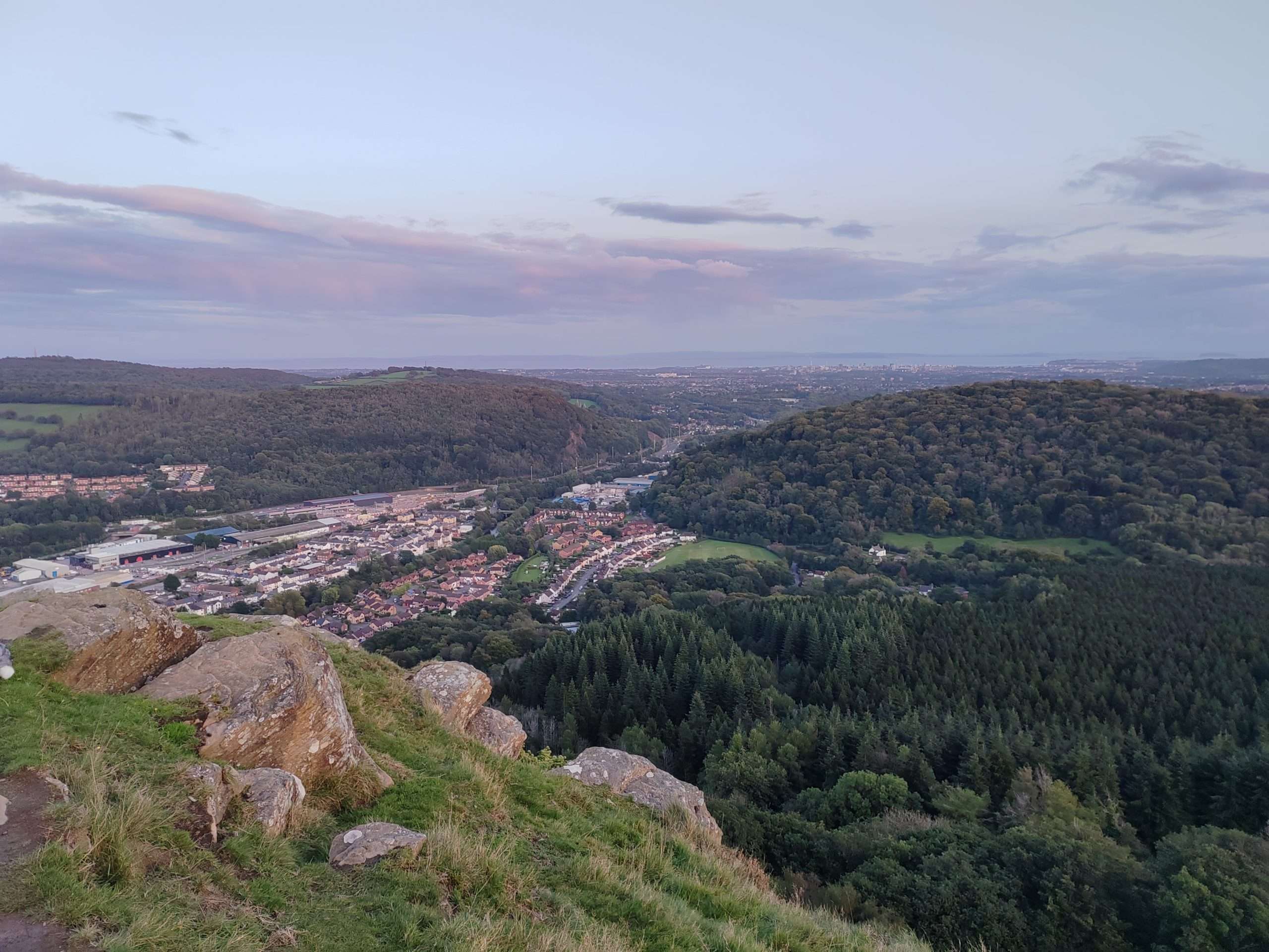
Walk: Fforest Fawr circular. 21km/13miles, 1000m/3000ft ascent (Moderate/Hard)

Join Mark for this moderate to hard walk through Fforest Fawr to Castell Coch, on to Garth Woods and Garth Hill and back across the valley where we'll take in part of the Taff Trail and Craig Yr Allt before returning to the start. The walk is 21km/13miles with 1000m/3000ft of ascent. Expect muddy pathsContinue reading "Walk: Fforest Fawr circular. 21km/13miles, 1000m/3000ft ascent (Moderate/Hard)"

Walk: Henrhyd Falls to Sinc Giedd. 22km/13.5miles, 800m/2600ft ascent (Hard)

Mark will lead us on this hard walk of 22km/13.5miles and 800m/2600ft ascent starting with the spectacular Henrhyd Falls before making our way westwards to ascend Cribarth. We'll make our way over to the remote Sinc Giedd feature before returning via Craig Y Nos to the start point. Rough ground and paths. We'll start atContinue reading "Walk: Henrhyd Falls to Sinc Giedd. 22km/13.5miles, 800m/2600ft ascent (Hard)"

Walk: Fforest Fawr area. 25km/15miles, 600m/2000ft ascent (Hard)

Ystradfellte, village car park

Mark will be leading a hard walk of approximately 25km/15miles, 600m/2000ft ascent in the Fforest Fawr area. The walk is a mixture of paths/tracks and some steep rough grassland. Suitable footwear and clothing/spares to suit the group walking speed are required and gaiters and poles are a good idea. The route goes west to CarnauContinue reading "Walk: Fforest Fawr area. 25km/15miles, 600m/2000ft ascent (Hard)"

Walk: Pontsticill to Talybont Reservoir. 25km/15miles, 835m/2800feet ascent (Hard)

The route ascends Cwar yr Ystrad, Bryn Cefnog, Glyn Collwn at the head of the reservoir. Then onto Allt Forgan to some small waterfalls at Blaen y Glyn. Passing Dolygaer & then follow close to the reservoir edge back to the start. Start 9.30am at Pontsticill Bus Terminus (no buses on Sundays), OS Explorer MapContinue reading "Walk: Pontsticill to Talybont Reservoir. 25km/15miles, 835m/2800feet ascent (Hard)"

Walk: Penallta to Mynydd Eglwysilan, 27km/17miles, 610m/2000 feet ascent (Hard)

Join Mark on this hard walk from Penallta to Mynydd Eglwysilan. Covering 27km/17miles and ascent of 610m/2000 feet. The walk will follow the Rhymney Valley Ridgeway to Llanfabon, Mynydd Eglwysilan, Mynydd Meio to Abertridwr, then follow the railway to Penyrheol. Walking back to the start via the Sengheydd Dyke. Start 9.30am at Parc Penallta carContinue reading "Walk: Penallta to Mynydd Eglwysilan, 27km/17miles, 610m/2000 feet ascent (Hard)"

Walk: Caerphilly Mountain to Machen via the ridgeway. 20km/13m, 600m/2000ft ascent (Moderate)

Join Mark for this hard graded walk from Caerphilly Mountain to Machen via the ridgeway, taking in Cefn Onn and Craig Llysfaen. Distance of 20km/13m, 600m/2000ft ascent. Start 9.30am. OS Explorer Map 151, grid reference ST 157853, The Caerphilly Mountain shack. For your safety and the safety of other members, we advise minimum personal equipment requirements forContinue reading "Walk: Caerphilly Mountain to Machen via the ridgeway. 20km/13m, 600m/2000ft ascent (Moderate)"

Walk: Linking Pontsticill & Talybont Reservoirs. 25km/15miles, 835m/2800 feet ascent (Hard)

Join Mark for this hard graded walk linking Pontsticill and Talybont Reservoirs covering 25km/15miles and ascent of 835m/2800 feet. Walk north easterly across Cwar yr Ystrad to Pen Rhiw Calch, Glyn Collwn, back up to Allt Forgan. Return towards Blaen y Glyn small waterfalls, Pant y Creigau & Dol y Gaer with final stretch followingContinue reading "Walk: Linking Pontsticill & Talybont Reservoirs. 25km/15miles, 835m/2800 feet ascent (Hard)"

Walk: Parc Penallta & Cefn Eglwysilian. 17km/10miles, 370m/1200feet ascent (Easy)

Join Mark for this easy graded walk covering 17km/10miles with 370m/1200feet ascent across Parc Penallta & Cefn Eglwysilian. The route starts in the park and heads towards Llanfabon and onto Cefn Eglwysilian returning along Senghenydd Dyke to Mynydd Eglwysilian and back to the start point. Starting at the main car park at Parc Penallta nearContinue reading "Walk: Parc Penallta & Cefn Eglwysilian. 17km/10miles, 370m/1200feet ascent (Easy)"