Walk: Mynydd Carn y Cefn from Pen y Fan Pond Country Park. 24km/15miles, 825m/2700ft ascent (Hard)
Mynydd Carn y Cefn from Pen y Fan Pond Country Park. We will start at 9am. OS Explorer Map 166, grid reference SO198007. Head torches essential.
Walk, scramble and climb with us
Our programme of mountain hiking, climbing and other events
Find your adventure with us – try for free for two or three events without commitment to joining. Please register and our membership secretary will contact you.
Tap or click on an event title to obtain full details of the event.
You can filter upcoming events by category, tags or day of the week. How you see the filters depends on your device and its screensize. Some users will see the filter controls appearing on the left side of their screen. For other users, the filter controls can be revealed by tapping on the filter icon ![]() .
.
Read about how we grade our hill and mountain walks and how we categorise our climbing activities.

Mynydd Carn y Cefn from Pen y Fan Pond Country Park. We will start at 9am. OS Explorer Map 166, grid reference SO198007. Head torches essential.

Let us take you through the superb mountains and villages of Georgia's remote High Caucasus. A talk by Sian Hayward, assisted by Jonathan and Kath Singleton.

A moderate walk of 19km/12miles with 450m/1476ft of ascent. The Cwmyoy Roundabout will ascend Gaer, Bal Bach (and the option of Bal Mawr - an additional 1.5km and 90m ascent) before descending to Llanthony and back along Hatterall ridge. Start 09:00am. OS Explorer Map OL13, grid reference SO311221. Parking opposite Queens Head Pub inContinue reading "Walk: Cwmyoy Roundabout. 19km/12miles, 450m/1476ft ascent (Moderate)"

A convivial weekend of walking and pre-Christmas cheer including Christmas Dinner with all the trimmings on Saturday evening, based in Chapel-le-Dale, near Ingleton, North Yorkshire. Handy for the limestone scenery of Ingleborough and the magnificent Ribblehead Viaduct. We will stay for three nights in the Old School Bunkhouse, Chapel-le-Dale.

Hear more from Jon and Kath Singleton as they describe wandering through volcanoes and gorges seeing vultures and flamingos on their travels earlier this year.

A moderate walk with Rob Kemp. We'll start at 9.30am from the car park. OS Explorer Maps 151 & 166, grid reference SS 968859. Walkers are asked to bring both maps with them or share maps.

Christmas Meal at The Horseshoe Inn, Mamhilad. Deposit of £5pp required by Monday 20th November 2023. Festive menu choices required by Monday 4th December 2023. See email sent 12 September 2023 by Pauline Jones for details on paying deposit and further details about the menu.

It's time for the infamous Christmas Pudding Walk which will begin at 10.00am! We'll walk to Mynydd Llangorse and back along the Beacons Way to the Village Hall at around 1pm for lunch, mulled wine, mince pies and Christmas carols. Tea and coffee also available. Approximately 8km/5miles. Cwmdu Village Hall. OL13 grid reference 180240.

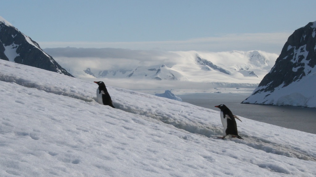
Come along to an illustrated presentation in the footsteps of Sir Ernest Shackleton taking in the Antarctic Peninsular, Elephant Island, South Georgia and The Falkland Islands. Giving an introduction to the "White Continent" with historical references, outstanding scenery and stunning wildlife. The talk will be delivered by Keith Anderson.

The first Sunday walk of the New Year. This walk will also be a training and practice session for 'finding your way' map-reading skills. It will be especially useful for those who participated in the first 'finding your way' training session last November. We will start at 9:30am at the Nant Tarthwynni parking area alongsideContinue reading "Walk/Training: Bryn and Waun Rydd. 19km/12 miles, 950m/3100ft ascent (Moderate)"

A circular walk of 6.5km/4miles, 220m/670ft ascent over and around Gray Hill with beautiful views across the River Severn, on a clear night! We'll start at 7pm from the Forester Oak Car Park. OL14 Explorer Map, grid reference ST 428938. Don't forget your head torch! Rock & Fountain pub for a social beverage after. Continue reading "Walk: Gray Hill. 6.5km/4miles, 212m/700ft ascent (Easy)"

Setting the map, staying engaged with the map whilst walking to maintain awareness of current position, and anticipating what lies ahead are fundamental to being able to find your way successfully in the outdoors. Join Alex and Keith for an afternoon of informal instruction and practice to develop your skills at Garn Lakes, Blaenavon onContinue reading "Training (half-day): Finding your way with a map"