
Walk: Mynydd Carn y Cefn from Pen y Fan Pond Country Park. 24km/15miles, 825m/2700ft ascent (Hard)
Mynydd Carn y Cefn from Pen y Fan Pond Country Park. We will start at 9am. OS Explorer Map 166, grid reference SO198007. Head torches essential.
50 years of us, walking, scrambling, climbing
Our programme of mountain hiking, climbing and other events
Find your adventure with us – try for free for two or three events without commitment to joining. Please register and our membership secretary will contact you.
Tap or click on an event title to obtain full details of the event.
You can filter upcoming events by category, tags or day of the week. How you see the filters depends on your device and its screensize. Some users will see the filter controls appearing on the left side of their screen. For other users, the filter controls can be revealed by tapping on the filter icon  .
.
Read about how we grade our hill and mountain walks and how we categorise our climbing activities.
Mynydd Carn y Cefn from Pen y Fan Pond Country Park. We will start at 9am. OS Explorer Map 166, grid reference SO198007. Head torches essential.

A moderate walk of 19km/12miles with 450m/1476ft of ascent. The Cwmyoy Roundabout will ascend Gaer, Bal Bach (and the option of Bal Mawr - an additional 1.5km and 90m ascent) before descending to Llanthony and back along Hatterall ridge. Start 09:00am. OS Explorer Map OL13, grid reference SO311221. Parking opposite Queens Head Pub inContinue reading "Walk: Cwmyoy Roundabout. 19km/12miles, 450m/1476ft ascent (Moderate)"

A moderate walk with Rob Kemp. We'll start at 9.30am from the car park. OS Explorer Maps 151 & 166, grid reference SS 968859. Walkers are asked to bring both maps with them or share maps.

It's time for the infamous Christmas Pudding Walk which will begin at 10.00am! We'll walk to Mynydd Llangorse and back along the Beacons Way to the Village Hall at around 1pm for lunch, mulled wine, mince pies and Christmas carols. Tea and coffee also available. Approximately 8km/5miles. Cwmdu Village Hall. OL13 grid reference 180240.

The first Sunday walk of the New Year. This walk will also be a training and practice session for 'finding your way' map-reading skills. It will be especially useful for those who participated in the first 'finding your way' training session last November. We will start at 9:30am at the Nant Tarthwynni parking area alongsideContinue reading "Walk/Training: Bryn and Waun Rydd. 19km/12 miles, 950m/3100ft ascent (Moderate)"

Join Dave Bingham for a hard walk to Cribyn via Bryn Teg and Fan Y Big starting at at 9.00am. OS Explorer Map OL12, grid reference SO 074258 at Llanfrynach. Car sharing encouraged as parking is limited in the village. Head torches essential. Please let Dave know if you intend to join the walk.

Join Sara on this moderate walk of 19km/12miles with 700m/2300ft ascent. The walk will take us on an old drovers road from Talywain, skirting around Coety Mountain to Cwmtillery Lakes taking in Mynydd James on the way. It's mainly on good tracks. We'll start at 9.30am from Talywain Rugby Club car park. OS Explorer mapContinue reading "Walk: Talywain to Cwmtillery Lakes. 19km/12miles, 700m/2300ft ascent (Moderate)"

Join Ralph on this 26km/16.5miles hard walk taking in the hills of Mynydd Fforest, Cefn Llwydiart, Cefn Clawdd, Twyn Y Post, Fforest Brycheiniog and Llandyfalle Hill. Total ascent 700m/2300ft following mainly good paths. Please bring a headtorch. We will start at 9.30am OS Explorer Map 188, grid reference SO117377 at Brechfa Pool.
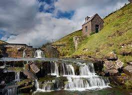
Join Nia for a hard walk starting at Pengenffordd heading onto Y Grib and moving North East 713m to the Grwyne Fawr Bothy. Nia has recommended that walkers aim to bring some rubbish bags with them so a tidy up of the bothy can be done if needed. The return leg of the walk willContinue reading "Walk: Pengenffordd to Grwyne Fawr Bothy. 21km/13miles, 840m/2770m ascent (Hard)"

Our walk, which begins from the High School / Leisure Centre car park in Crickhowell (9:30am. OS Explorer map OL13, grid reference SO 216185) is essentially a high-level walk rising to and around the rim of the Great Cwm (Cwm Mawr in Welsh). This large, steep-sided bowl is cut into the south-western aspect of theContinue reading "Walk: Great Cwm Horseshoe. 18km/11.2miles, 840m/2755ft ascent (Moderate)"
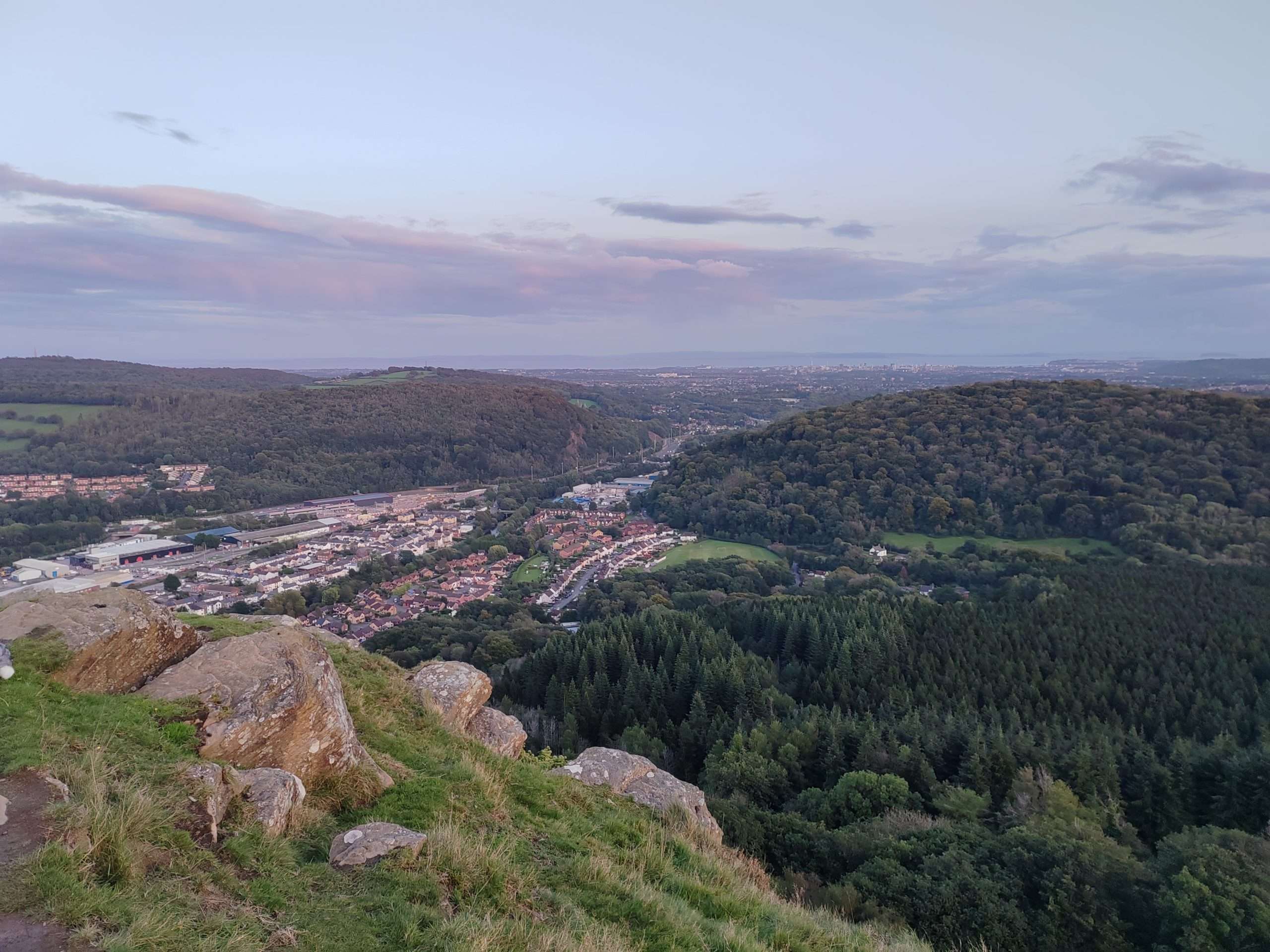
Join Mark for this moderate to hard walk through Fforest Fawr to Castell Coch, on to Garth Woods and Garth Hill and back across the valley where we'll take in part of the Taff Trail and Craig Yr Allt before returning to the start. The walk is 21km/13miles with 1000m/3000ft of ascent. Expect muddy pathsContinue reading "Walk: Fforest Fawr circular. 21km/13miles, 1000m/3000ft ascent (Moderate/Hard)"

Join Ralph for a walk around the upper Afon Honddu. We'll start from Pen yr Heol under the northern escarpment of the Blacks. The route circles the upper Honddu Valley via Bird House, Twyn Talycefn, Blacksmith's Anvil, Capel Y Ffin, The Vision, Hay Bluff and Twmpa. The walk will cover 26km/16 miles with a totalContinue reading "Walk: Around the upper Afon Honddu. 26km/16miles, 1195m/3625ft ascent (Hard)"